
Recent Posts
Categories
- Advanced Solutions (12)
- Archeology (7)
- Event Management Solutions (3)
- Events (18)
- Grocery E-commerce (18)
- Innovation (19)
- IT Services (14)
- Land Stewardship (10)
- Locker Solutions (19)
- Natural Resources (7)
- NOC Operations (12)
- Operations (10)
- Science Projects (10)
- Security (8)
- Smart Retail (20)
- Supply Chain (12)
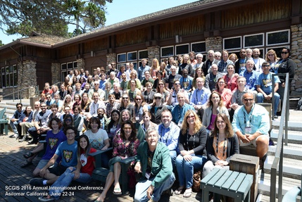
Presentation at the Society of Conservation GIS Conferance Monterrey 2016
- July 31, 2016
by Charles Burnett
In June 2016, Charles from our cedar box team presented at the Society of Conservation GIS Conference in Monterrey, California to speak about Cedar Box Apps. Scroll down to view the video of the talk. Or view the slides at http://www.slideshare.net/cnburnett/webgisbased-conservation-tools-for-first-nations-stewardship
Abstract
Marine stewardship in British Columbia is increasingly complex, contextualized by our First Nations? strong rights and title positions, and evolving co/management regimes. Small teams of fisheries managers, planners and technicians are being tasked with monitoring, assessment and planning tasks that would normally be the remit of well-staffed provincial departments. Over the last 10 years, First Nations stewardship managers have been searching for information systems that bring spatial analysis more efficiently and seamlessly into the day-to-day operations of all staff. Several decision-support systems have emerged using web-GIS technologies to address this challenge. Technically, these systems consist of: geodatabase back-ends (commonly PostGIS) and an HTML/JS/CSS front end, spatial libraries, and PHP or Python code. All of the systems do two key functions: (1) help to manage large cultural and ecosystem geodatabases, and (2) provide tools to mobilize the geo knowledge base in specific contexts such as: project/permit impact assessment, cumulative impacts assessment, compiling evidence to support legal cases. The geospatial analyses thus are varied: from proximity reports, to spatial modelling and visualization, to spatial key-phrase searches. Each system goes some way towards providing necessary efficiencies to stewardship office staff, but gaps remain. For example, the following features would be useful when incorporated: secure links to government databases, incorporating management tools outside of conservation (fee-simple lands, environmental management), mobilizing knowledge for schools, managing field survey data, and stewardship staff time-tracking and billing.
FYI: Also participating were ~20 young international scholars doing amazing work around the world: http://www.conservationgis.org/scgis/2016/ScgIntl2016A.htm