
Viewing blog posts for the category Land Stewardship
Recent Posts
Categories
- Advanced Solutions (12)
- Archeology (7)
- Event Management Solutions (3)
- Events (18)
- Grocery E-commerce (18)
- Innovation (19)
- IT Services (14)
- Land Stewardship (10)
- Locker Solutions (19)
- Natural Resources (7)
- NOC Operations (12)
- Operations (10)
- Science Projects (10)
- Security (8)
- Smart Retail (20)
- Supply Chain (12)
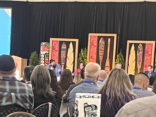
Learn more about how CedarBox is being used by communities in British Columbia to make informed land use decisions. Through our sister company Mighty Raven we will be highlighting CedarBox at our booth at the 8th Indigenous Resource Opportunities Conference at the Vancouver Island Convention Centre.
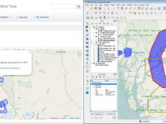
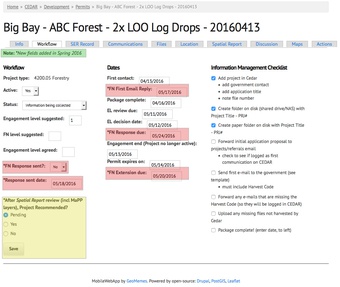
A new Cedar Apps features and fixes code push started in April with a focus on improvements to the Heritage App. We are extending the Community Map functionality, and continue to align Item fields with best practices standards (see links below).
Stay tuned for new web Documentation and PDF Guide in the coming months
In the summer of 2015, Kitasoo/Xai’xais Nations joined the Indigenous Laws Project spearheaded by the Central Coast Indigenous Resource Alliance. Funding was found to hire 5 KX community researchers to work with 3 lawyers and assorted records management experts. A secure web application was built to house the resulting interactive database, a “Digital Archive”, of Collections, Items, Places and Case Briefs. As of Fall 2016, more than 1900 KX Items have been cataloged and ‘tagged’ using 50 different research fields—such as title, author, era, LUP theme, sensitivity, location, etc. These Items include maps, letters, charts, interview transcripts, books, photographs, reports, paintings, and carvings. The Items are grouped into 40 Collections, and have been collated into 29 Case Briefs. In addition, 201 Places have been identified.
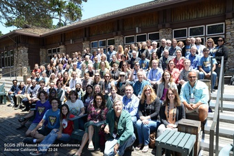
In June 2016, Charles presented at the Society of Conservation GIS Conference in Monterrey, California to speak about Cedar Box Apps. Scroll down to view the video of the talk. Or view the slides at http://www.slideshare.net/cnburnett/webgisbased-conservation-tools-for-first-nations-stewardship
We’re rolling out a few changes to Cedar 7 installations this month. Some are behind the scenes improvements to MailHarvest and file attachment listings.
However, some changes will be a little more obvious: